
Years ago local radio channel WTTB and its billboards proclaimed that Vero Beach was Where The Tropics Begin. (WTTB). This statement, while reasonably accurate during the end of the last century, it is no longer true due to warming temperatures.
Temperature changes are reflected in the new U.S. Department of Agriculture (USDA) Plant Hardiness maps. The first Plant Hardiness Map was created in 1927, and the most recent map was released in late 2023 …
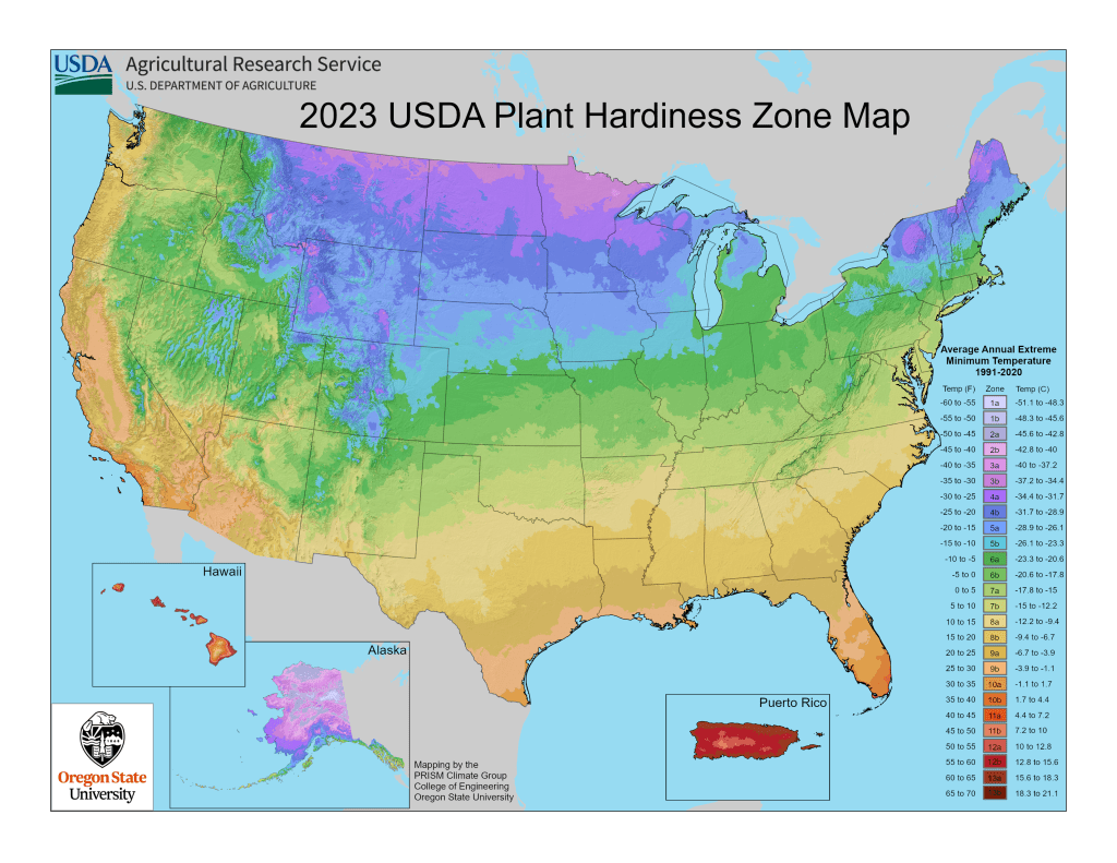
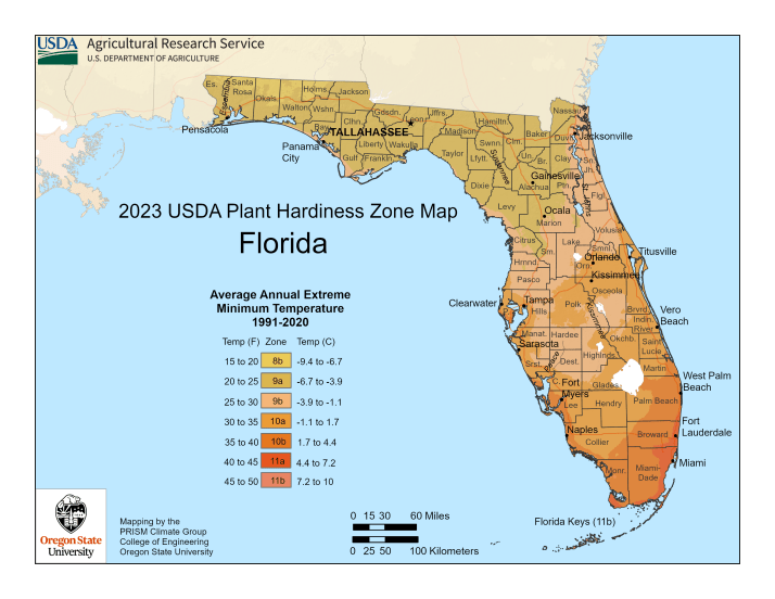
Indian River County, once upon a time in Zone 9A, is now in Zone 10A. Click here to visit the USDA Plant Hardiness Map page, now interactive, that allows you to enter a zip code to get information about the associated planting zone.
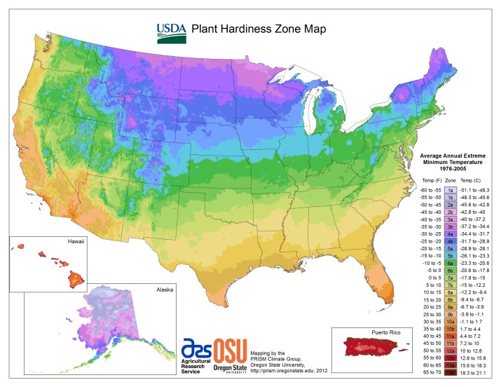
The 2023 map reflects an increase of 3 degrees for our area from 2012 to 2023. The 2012 map shown below …
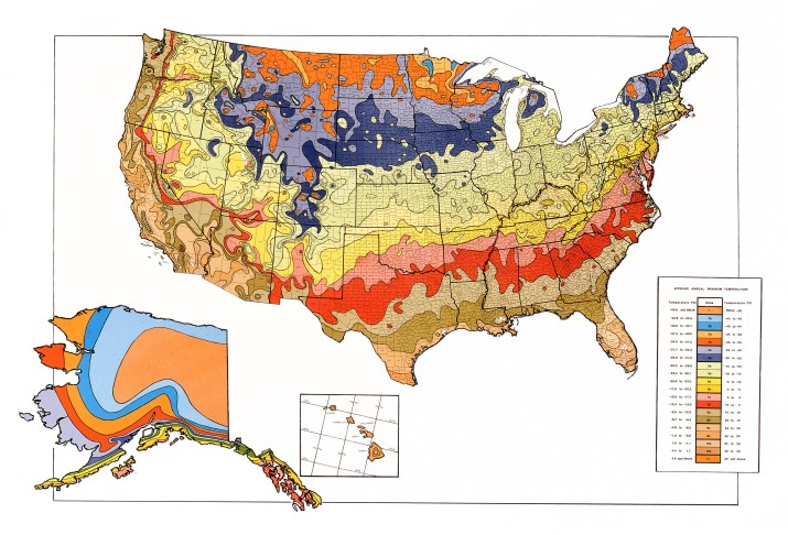
In 1990 the map looked quite different …
Why does the plant hardiness map matter to you? It gives you information about what plants likely will thrive your yard or garden. In our natural areas look for an increasing number of tropical plants that are “moving up” from the south in response to warming temperatures.
Should all of your plants be of tropical origin? Maybe not: “Variety is the very spice of life”. If you have lived here long enough, you recall – vividly – the Christmas freeze of 1989 when temperatures dipped to 19 degrees for an extended period of time. Plant wisely!
